(Update: June 2023). How many waterfalls are there on the Faroe Islands? Probably nobody ever counted – it’s just too many of them! As soon as it rains, waterfalls are springing up like mushrooms. And it rains a lot on the Faroe islands… One of the most famous and impressive waterfalls is definitely the Mulafossur waterfall in Gásadalur. This article shares all the details about a hike there!
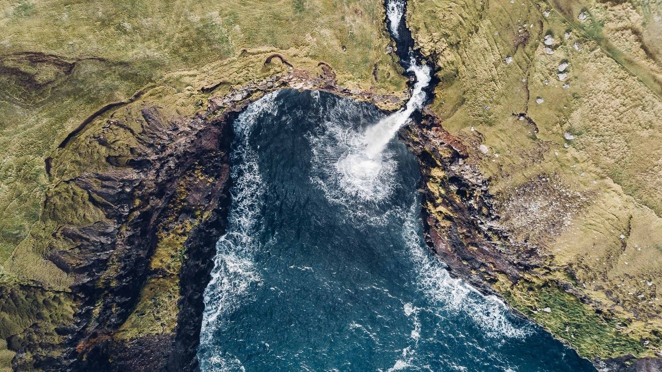
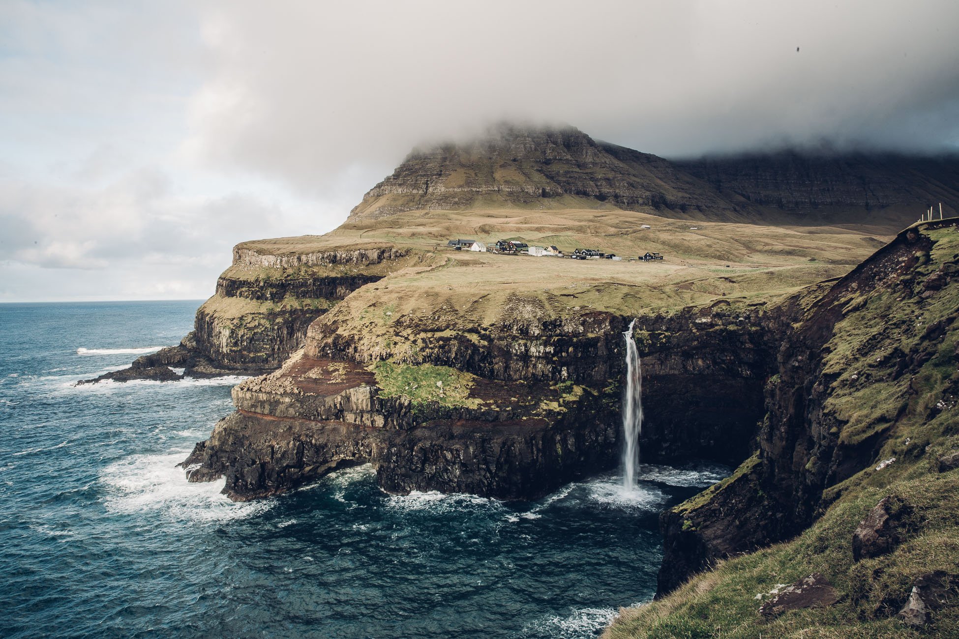
Mulafossur Waterfall in Gásadalur as seen from above
It’s only since 2004 that there’s a tunnel, that connects the village of Gásadalur to the rest of the island. Since then, visitor numbers at the waterfall have increased. Nowadays you can just drive there, park your car in the village and easily walk the 5 minutes to Mulafossur waterfall.
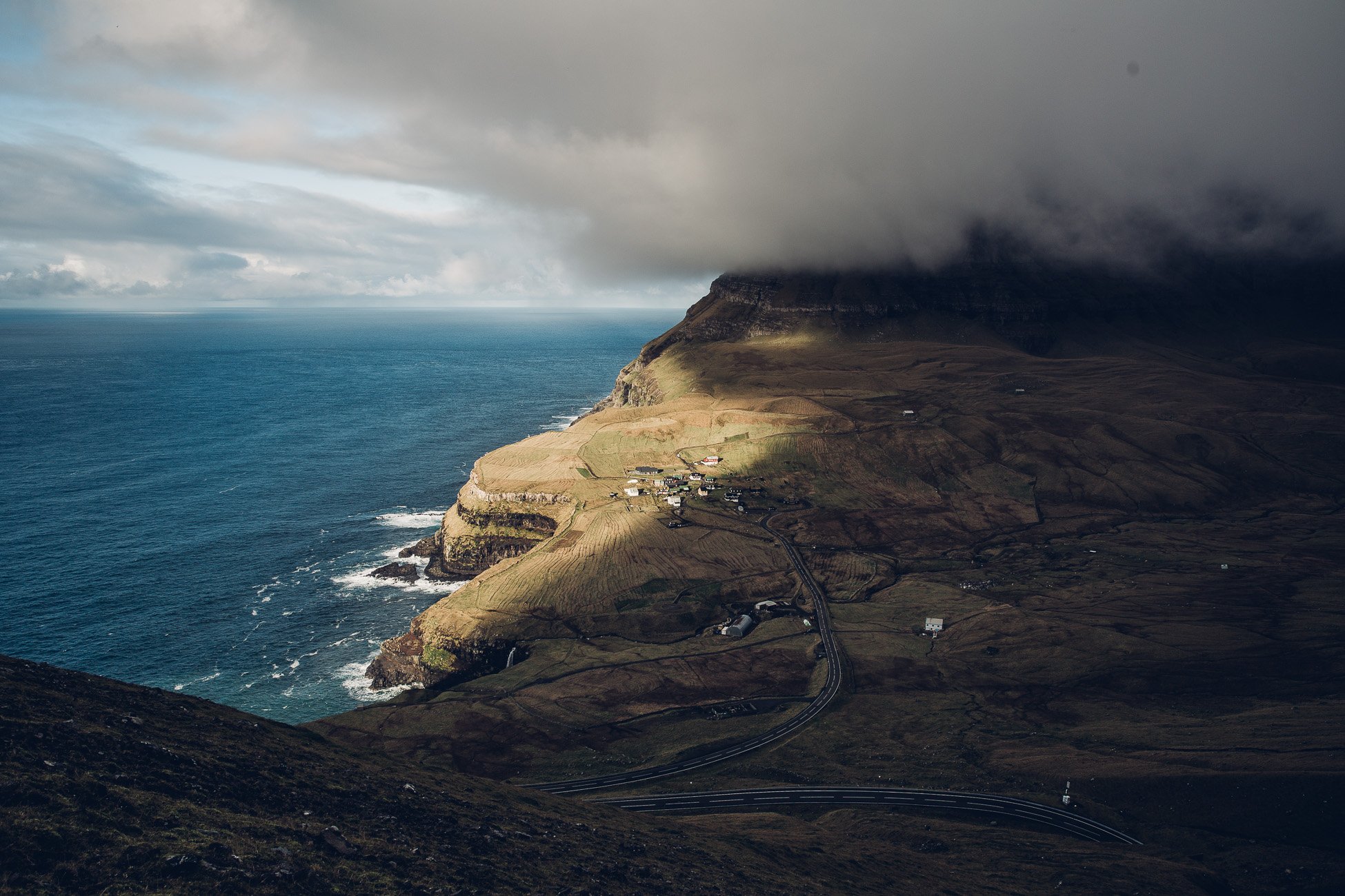
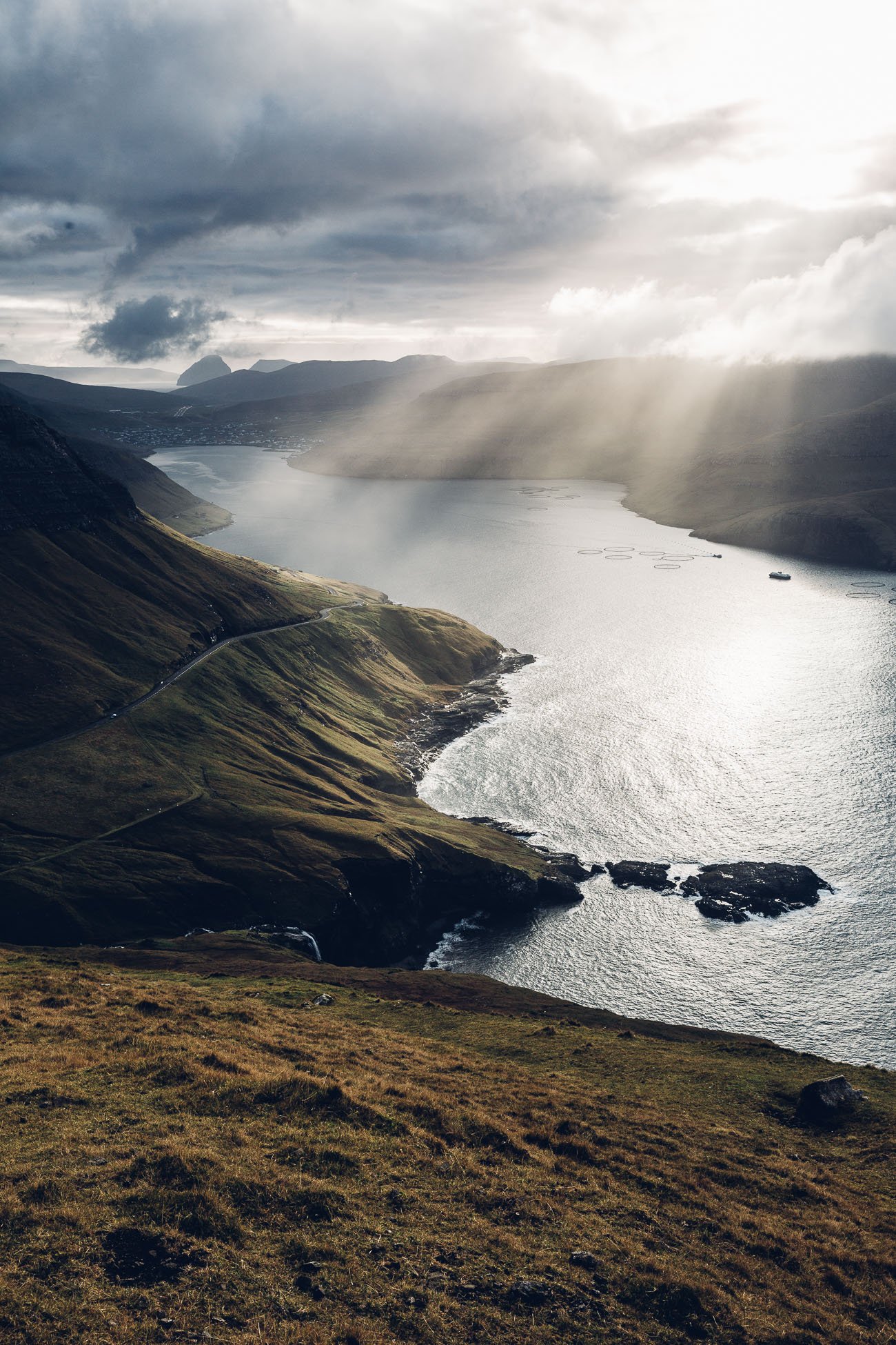
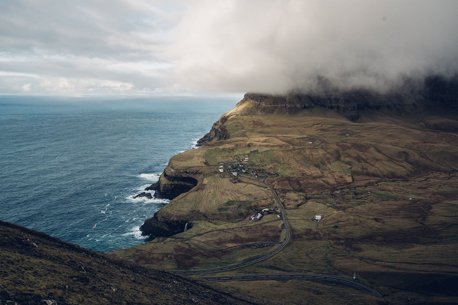
A look down on Gásadalur and the new road that leads to the village since 2004.
But the more exciting (and interesting) way to visit is to cross the mountain range in-between the villages of Bøur and Gásadalur – like everyone had to do before the tunnel was opened.
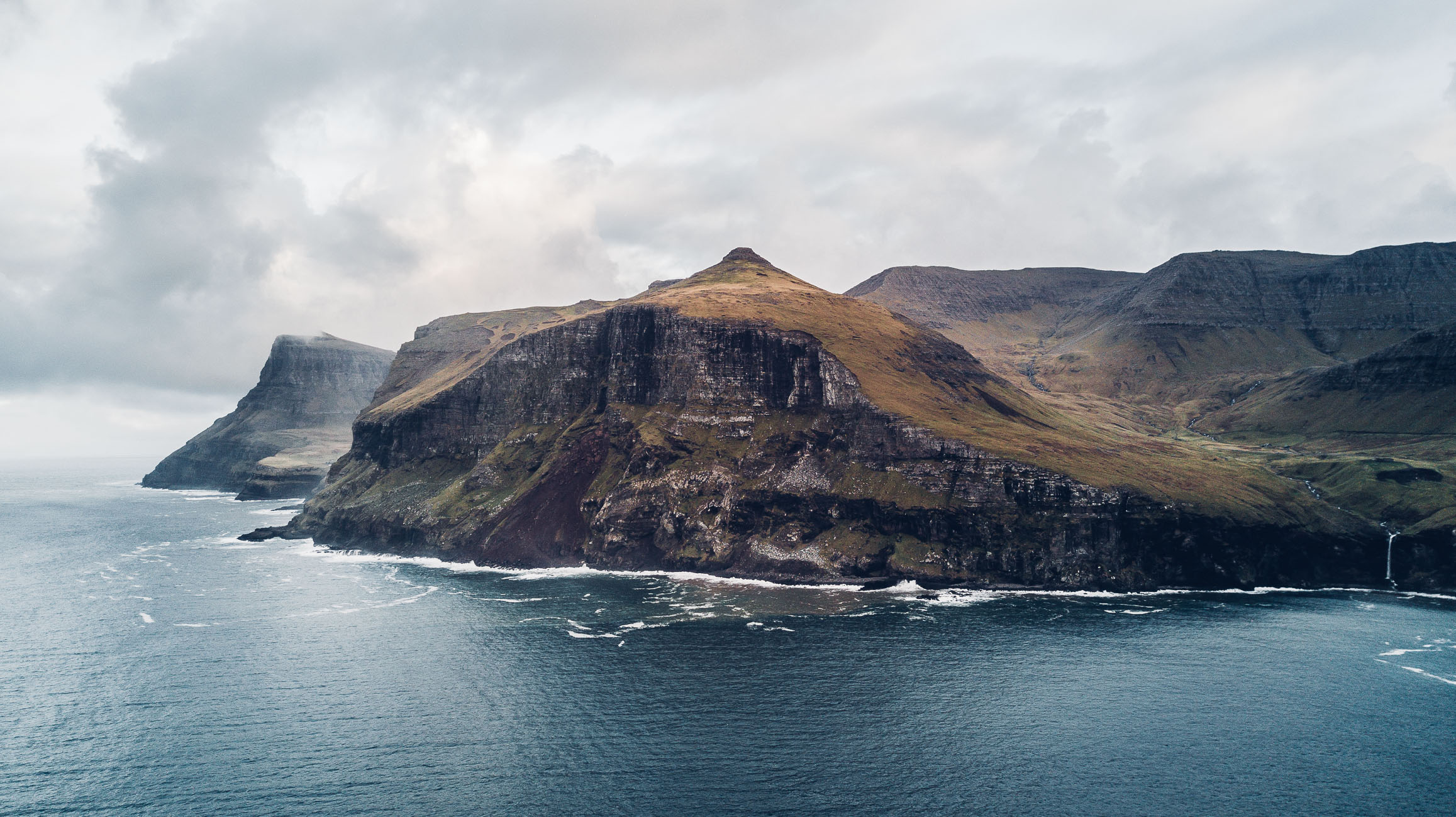
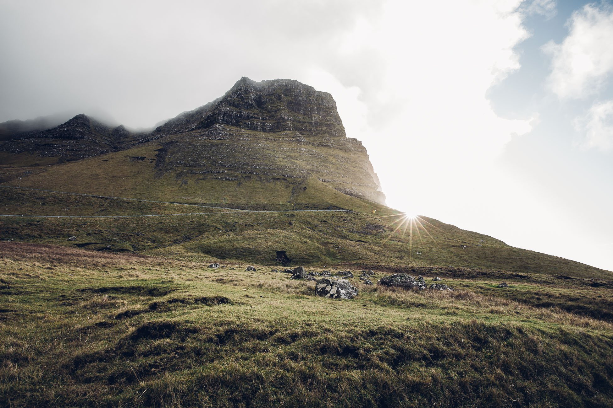
Mountain range between Bøur (on the right side) and Gásadalur (behind the mountains in the bay on the left).
This will transport you back in time to before 2004, when there was no other way to get to Gásadalur other than this hike. So even the postman had to do this hike three times a week (and don’t even think about funerals – you can read more about this below!) back in the days before the tunnel.
What to expect from Mulafossur waterfall
Next to Sørvágsvatn (see our hiking guide for this iconic location), the Mulafossur waterfall is one of the main attractions on the Faroe Islands.
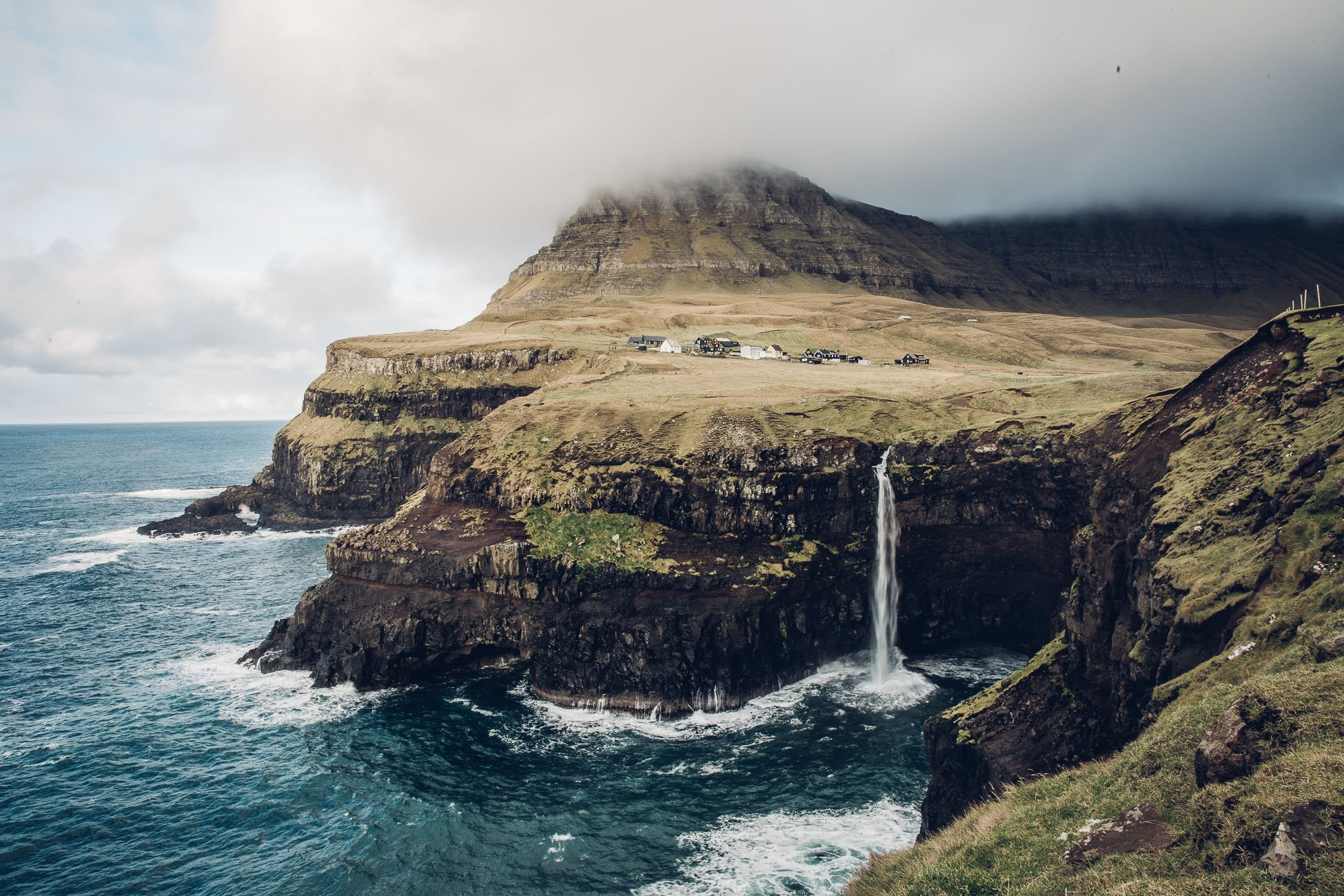
The most famous view of the Mulafossur waterfall.
The main advantage is that it’s so easy to reach (now with the tunnel) and that it’s location couldn’t be more picturesque. The narrow bay is cut into the steep cliffs, the waterfall hits the ocean and behind it ascends a landscape that no impressionist painter could’ve pictured more beautiful.
We believe that this view can be enjoyed even more if you hike there and get to know the lifestyle of the locals before the tunnel was built. Also this hike will open different kinds of viewpoints than the classic one, that everybody gets 🙂
Where to start the hike
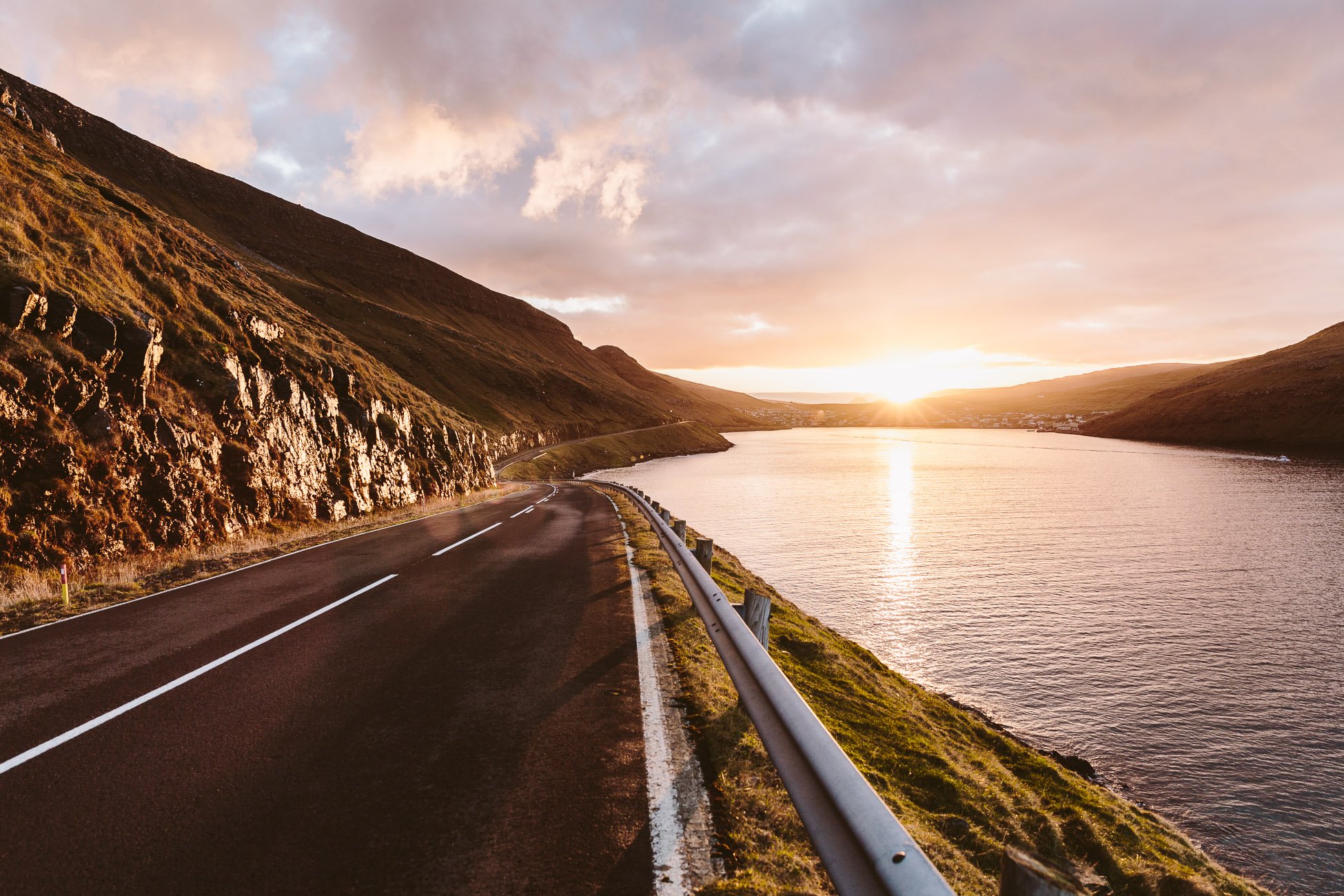
After you pass the village of Bøur – just one curve before the tunnel – there’s a small road turning to the left. You can park your car here – just on the side of the road. From here on you start your hike on the left side of the street.
Coordinates of your starting point:
62°05’53.8″N 7°24’11.9″W
This is the street that leads to Gasadalur from Bøur. If you start early enough this is a great spot to see the sunrise as well!
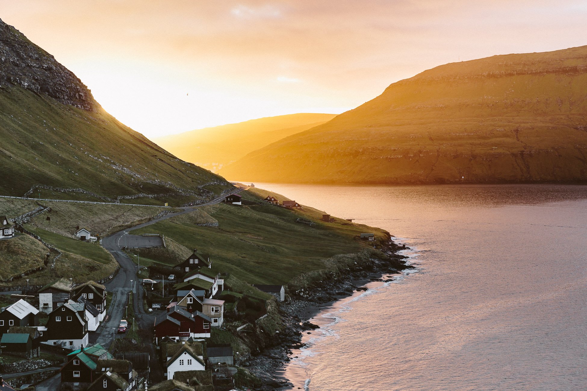
The village of Bøur during sunrise.
We actually came a little late to our meet up with our hiking guide, because of these views! Bøur was still in the dark, while the bay behind the village was lit up by the first rays of sun. There was just no way to resist these views and take a few photos 🙂
The first boats left the harbour at sunrise from Bøur to get to Mykines or just to check on the countless fishing grounds in the bay. After the sun had come up we got back in our car and drove on towards Gásadalur.
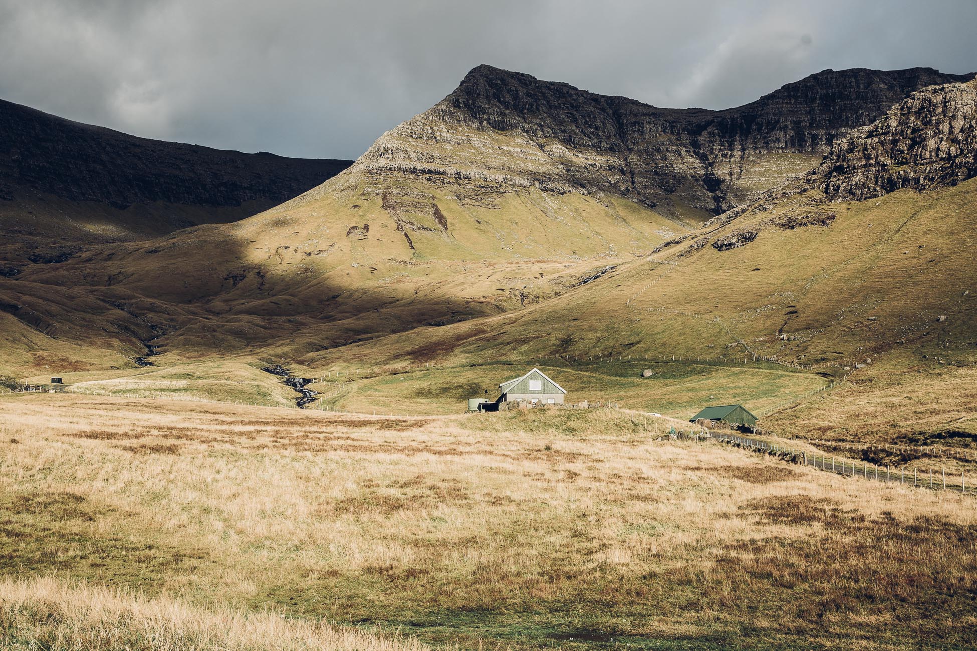
As soon as you can spot this house on the right side of the road (shortly before the tunnel to Gásadalur) you arrived at the location where you can park your car. There’s enough space on the sidelines of a small mountain path that starts on the left side of the road.
The path of the postman
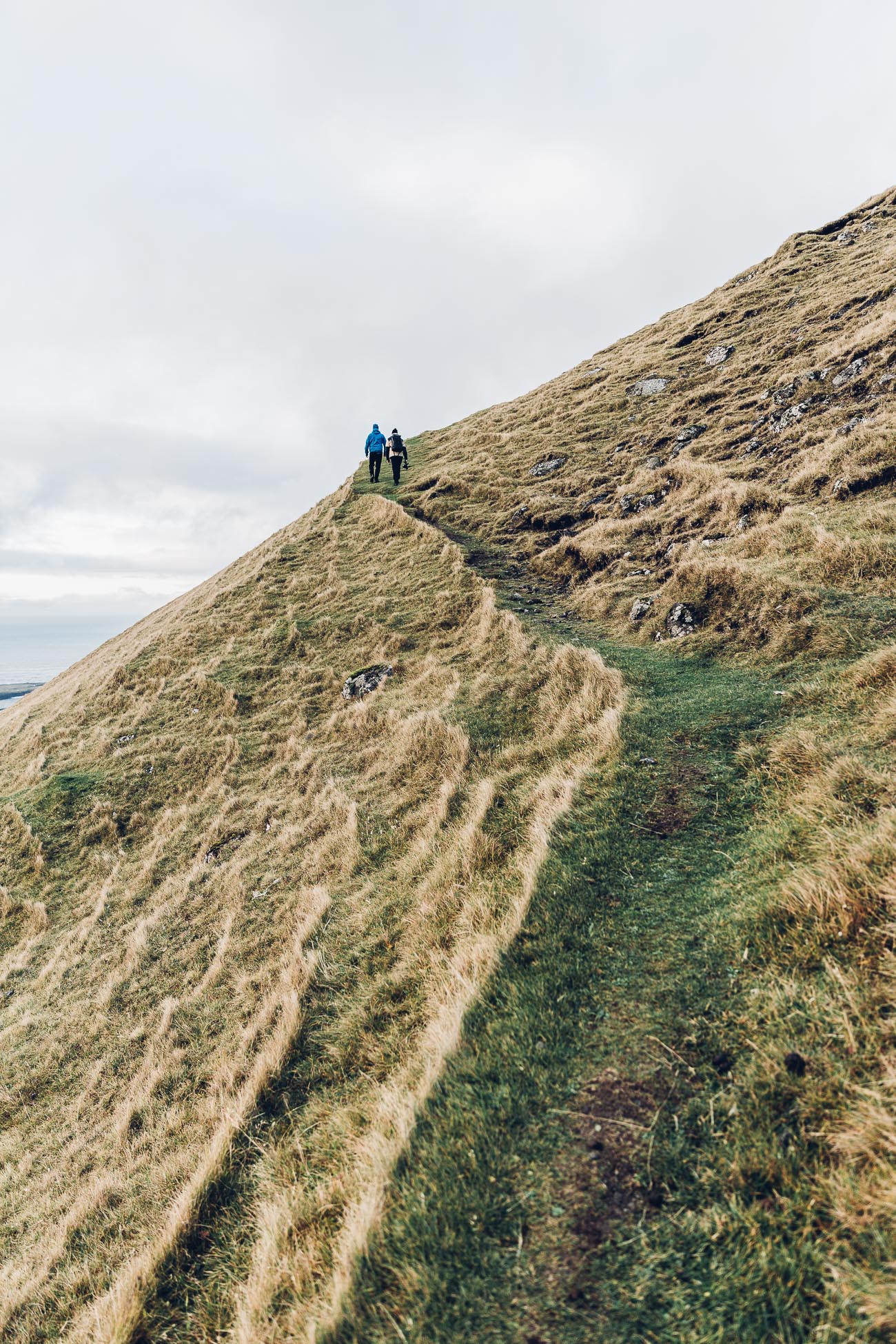
Already after the first 30 minutes, it was hard for us to imagine that the postman did this hike three times a week (with more to carry than us). The whole hike took us approximately 2 hours, but according to our guide the postman only needed 45 minutes. Well, we always needed to stop for photos – so we’ll just take this as our excuse 😉
As challenging as this hike must’ve been for the postman, at least he got some great views!
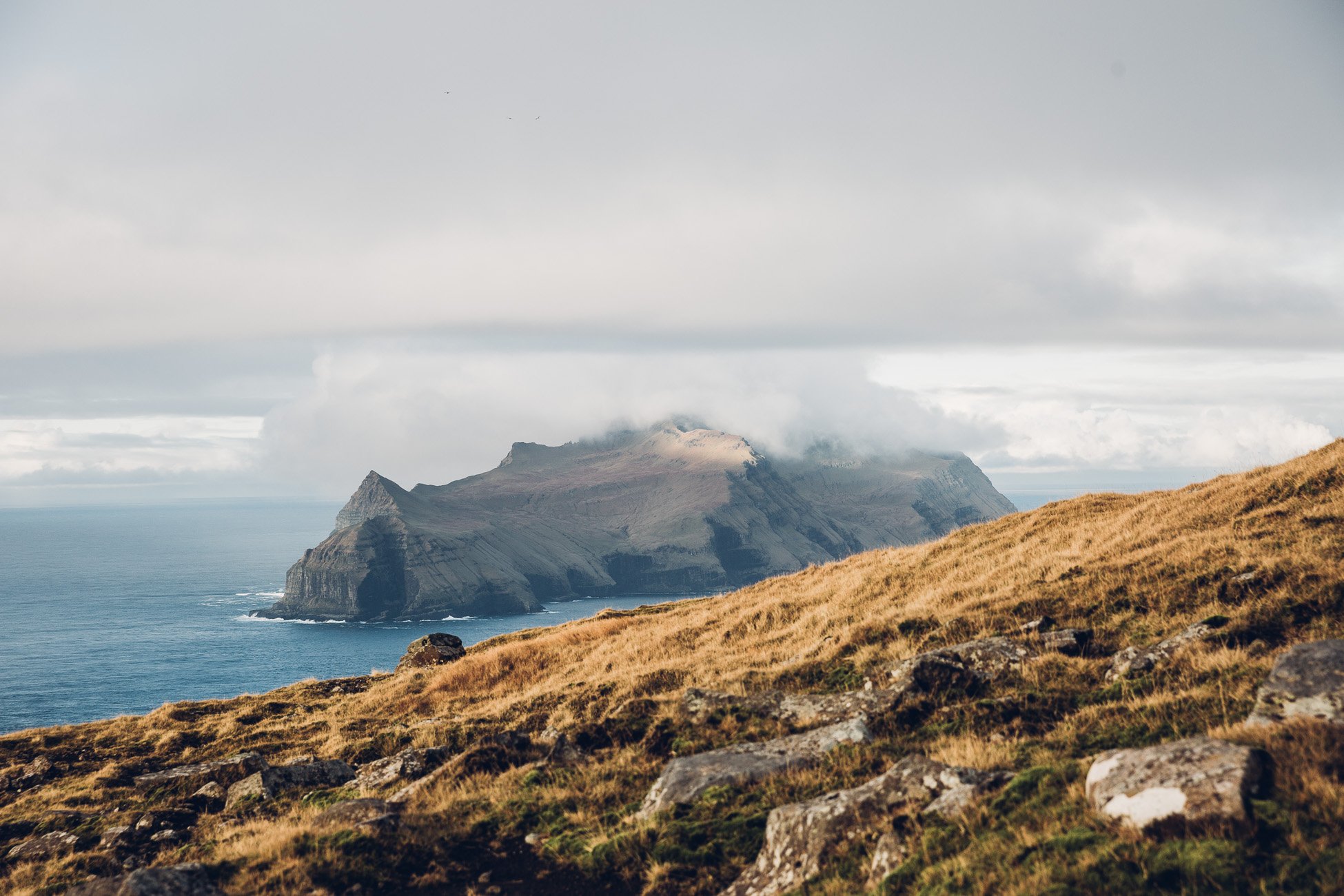
The island in the background is Mykines.
On the way to Gásadalur our hiking guide told us some funny and interesting stories. You can either book a guide (like we did from Reika Adventures) or read about the most unusual legends in the hiking guide of the official website of Visit Faroe Islands. Either way we think it’s a must to read the legends to understand how the Faroe Islands work.
The legends of Gásadalur
Here’s just one example of all the incredible stories and legends our guide told us on the way:
Gásadalur doesn’t have a church. Therefore there also was no cemetery back in the days. If somebody died in the village of Gásadalur, locals had to carry the coffin over the mountains to the next cemetery.
On the way there was only one stop, where they were allowed to rest the coffin on the ground. This is called the “Corpse’s Stone” (Líksteinurin) and it’s still there today. Imagine how they carried a coffin over the slippery mountain paths for hours – crazy right? Today they have a cemetery (and a road) in Gásadalur, so at least future deaths will be easier to handle… 🙂
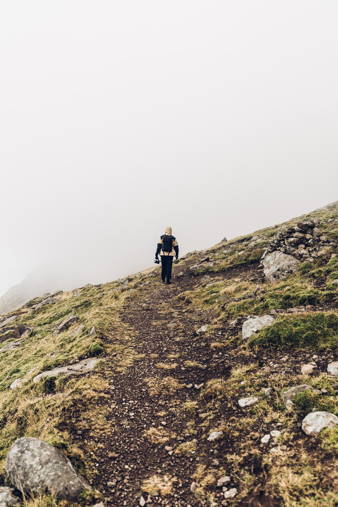
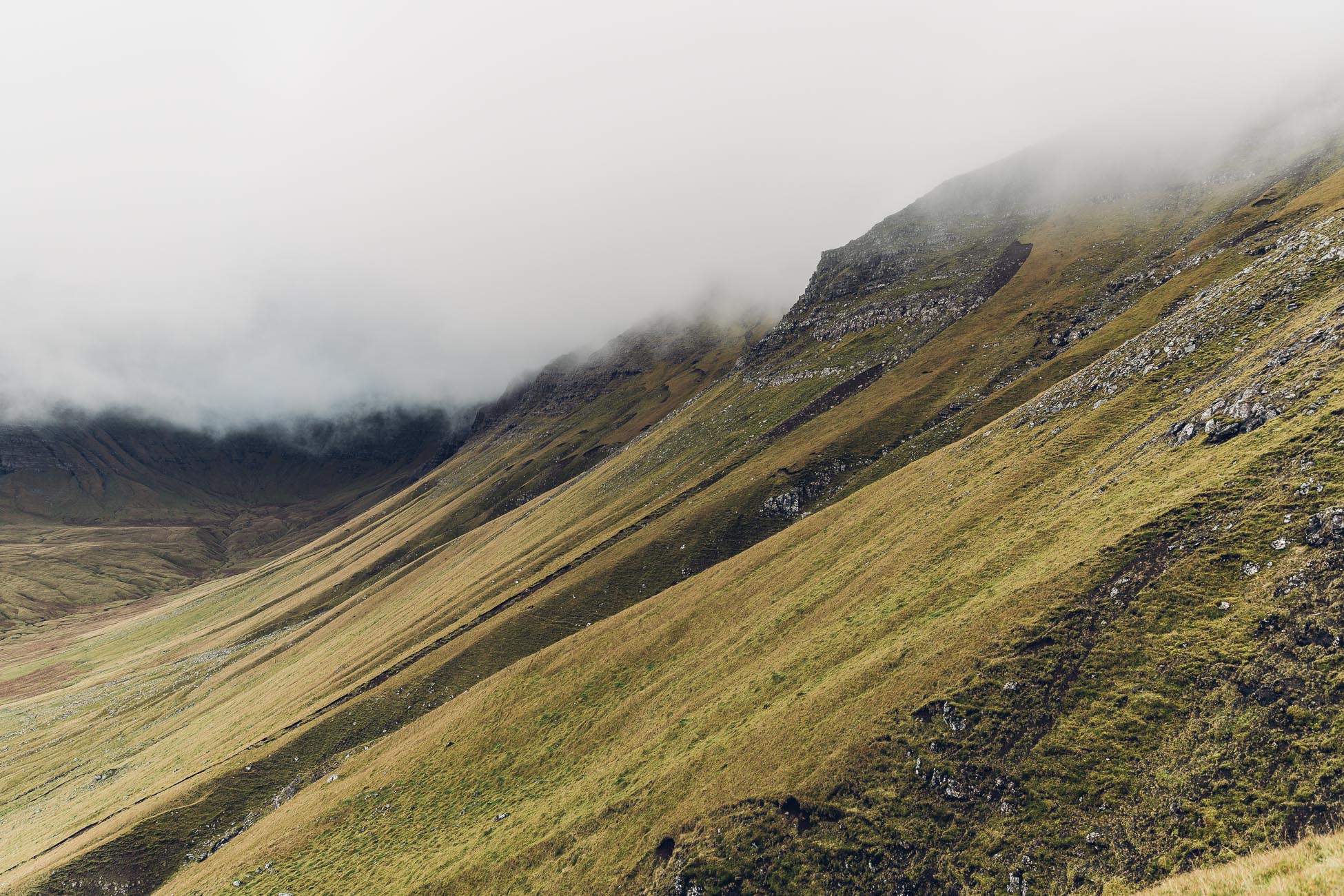
At the top we were caught in some heavy fog within seconds – but it disappeared as quickly as it had fallen!
The look down on Gásadalur
Once you made your way up the mountain called Gásadalsbrekkan the view will open up on the village of Gásadalur. Well, usually it does. When we made it up to the top, we didn’t see anything – it was a complete white out. Fog and clouds had rolled in. This happens a lot on the Faroe Islands.
The fog usually only covers the mountain tops.
You’ll just have to wait a couple of minutes or move down a few meters and the weather can change completely. We went from sweating in short-sleeved shirts to using all our layers including our raincoats. Be careful: The path down to Gásadalur can be a bit slippery and rocky, but those views are definitely worth it!
From one second to the next – the sky opens up and the sun shines!
The arrival at Mulafossur waterfall
When you finally arrive at the waterfall you’ll feel like you truly earned it to see this stunning natural wonder.
Make sure to also take the steps down for another perspective on the waterfall, but be warned: The steps are uneven and can be quite slippery! And the rails aren’t really safe to hold on to.
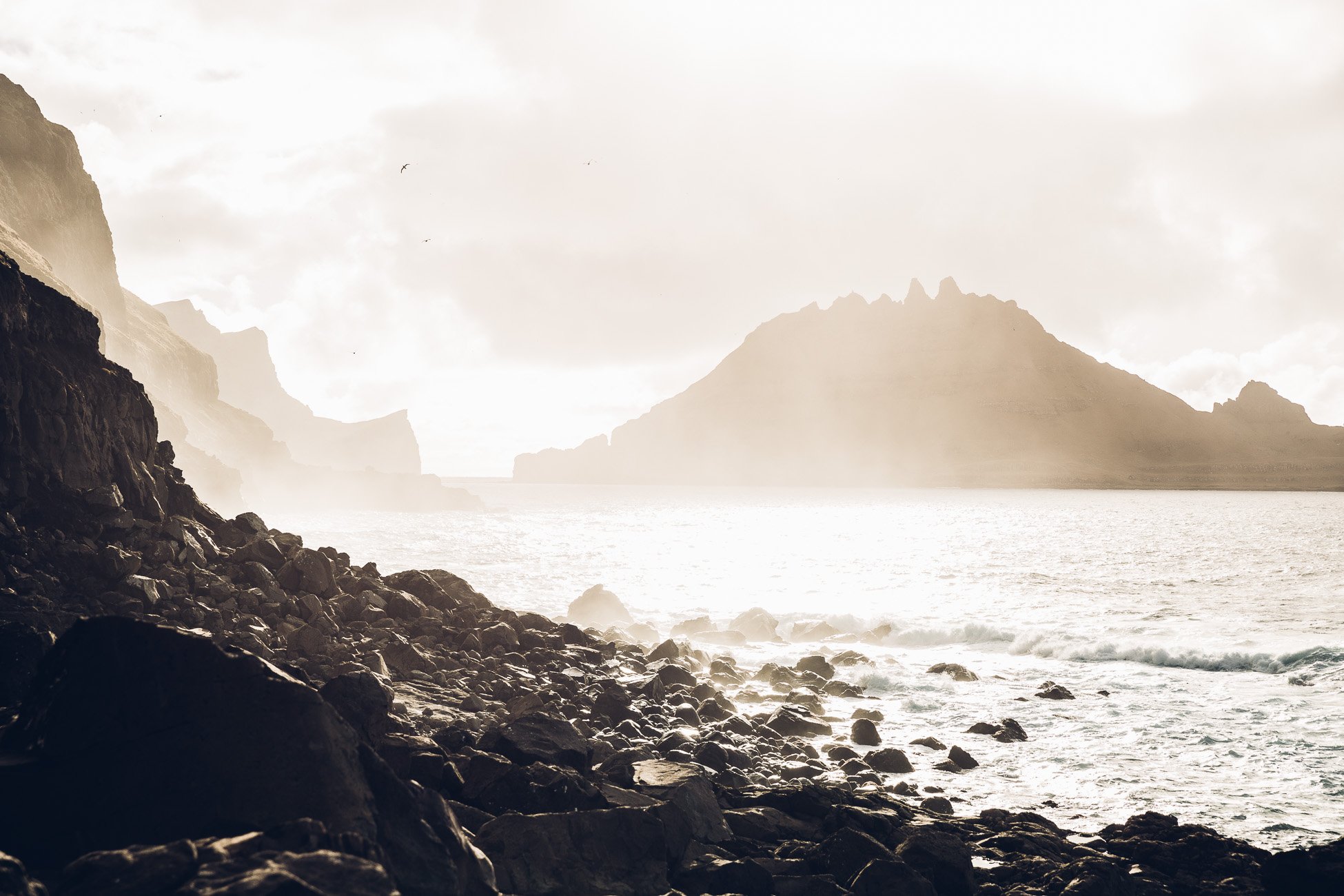
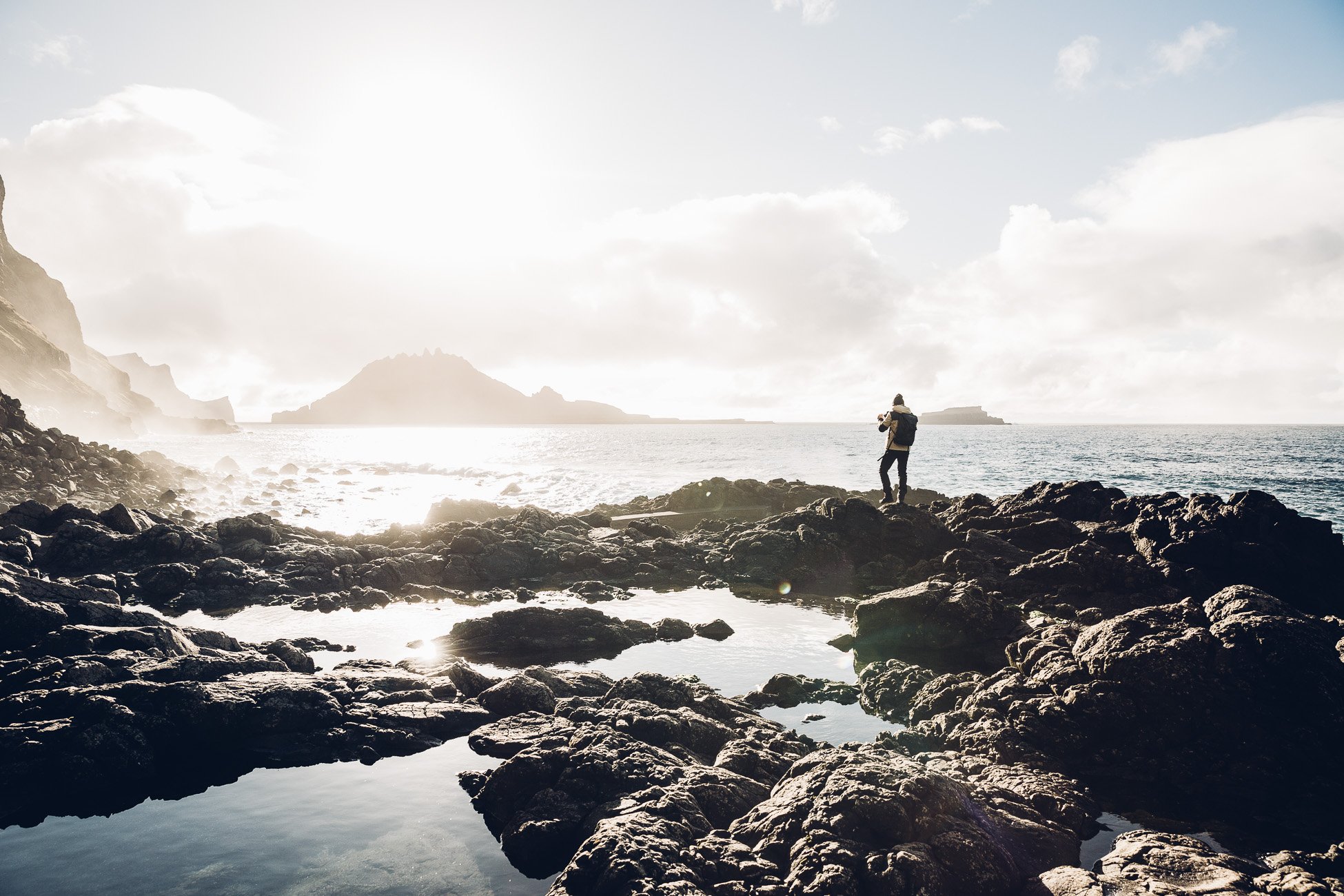
Waves crash against the cliffs and the sun came out for us when we arrived down at the bottom.
This was definitely one of the true highlights of our visit of the Faroe Islands! Probably we were just proud that we had taken the rough path to get here 😉 Obviously you can also just take the car to get to the Mulafossur waterfall (especially when the weather isn’t so good). It’s worth a visit anyway!
How to get back
Update June 2023: Back when we visited you could still easily cross the tunnel back by foot, but it seems this isn’t the case anymore in 2023. Therefore make sure to either arrange a transportation back or plan enough time so you can hike back over the mountains on foot again.
Mulafossur waterfall is usually well visited – even in the off season during our visit in October 2017 we met a couple of tourists there, so maybe you can also hitch a ride back! When you go with a guide he will probably have parked his car in Gásadalur and will take you back to your car – that’s a nice plus.
We recommend our incredible hiking guide Jóhannus from Reika who was very knowledgable and super friendly (and even patient when we were taking seven hundred photos of the same place).
What to wear
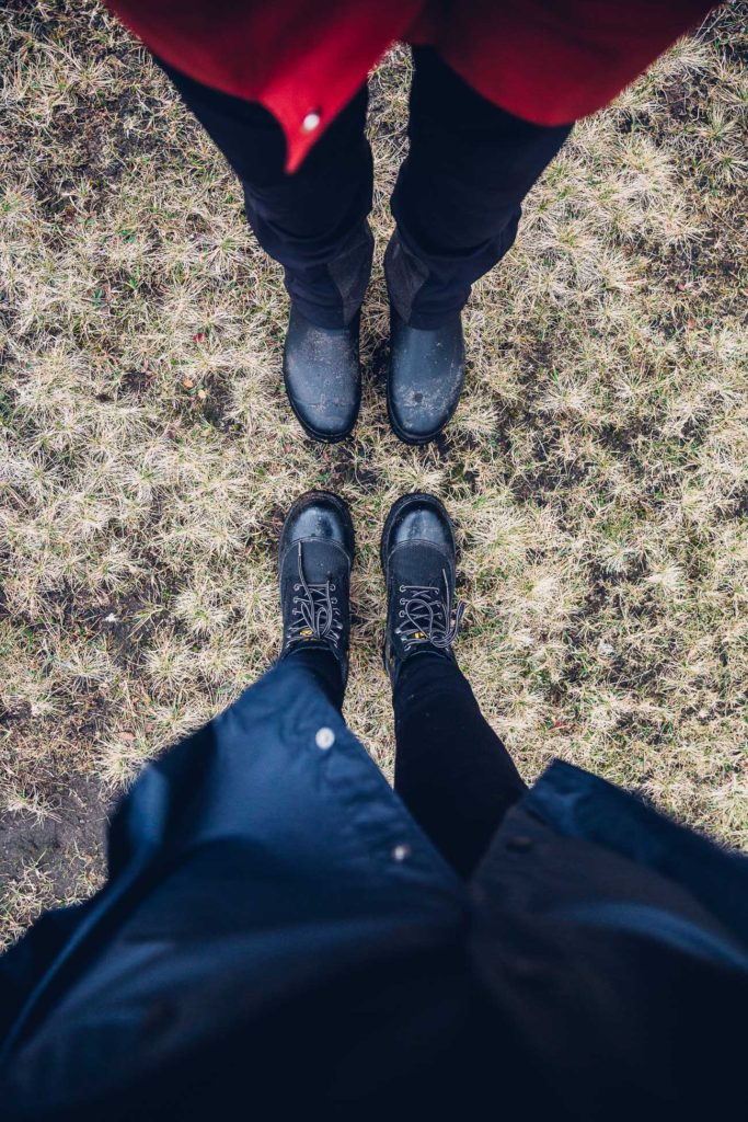
You’ll definitely want to wear ankle-high boots with a really good, grippy sole for this hike. If you aren’t well-balanced and have a firm and stable stand, we recommend to bring a pair of trekking poles (especially for the descend).
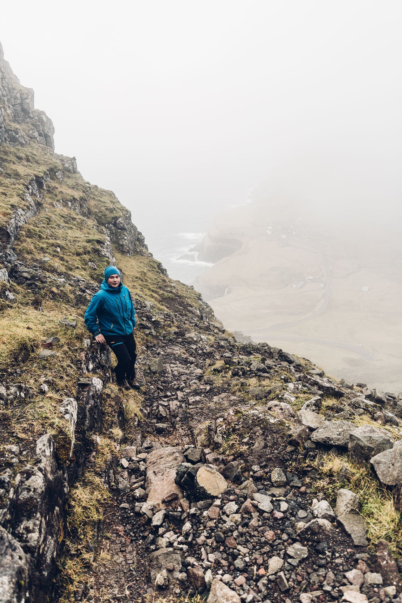
This was our attire for most of the hikes we did on the Faroe Islands.
In general it’s advisable to wear layers – knitwear, breathable under layers and a raincoat to top it off. The weather on the Faroe Islands changes constantly. As you can see in the photos above, we got a pink sunrise, but also a foggy, cloudy white-out and then sun again during our half day in Gásadalur.

